Ben Bennetts: Navigating on National Trails
Ben Bennetts shares a few tales of navigation gone wrong on our National Trails.
Ben Bennetts: Navigating on National Trails
https://www.contours.co.uk/an-occasional-column-by-ben-bennetts-navigation-post
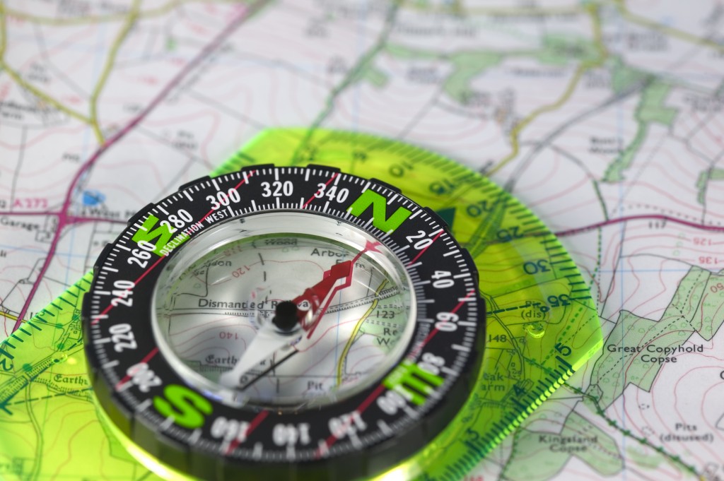
I’m an old-fashioned map and compass navigator. I’m not a GPS navigator, although I do possess an early Garmin unit. For me, reading a map and discovering which way to point my boots is part of the fun and challenge of walking.
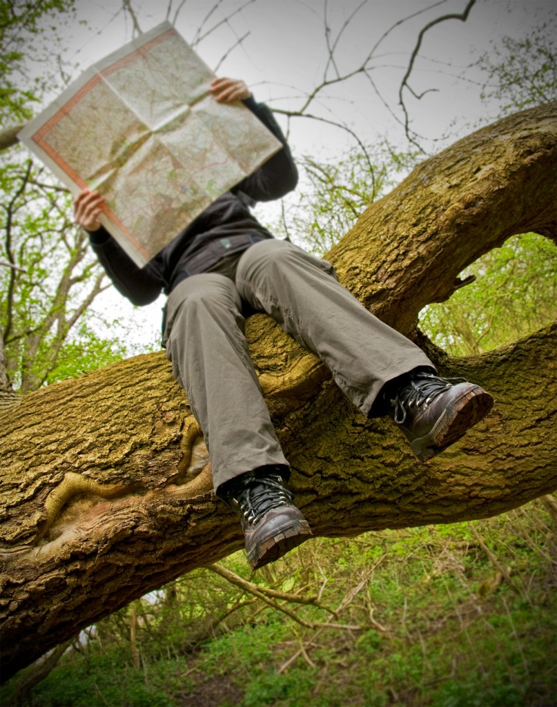
Fortunately, I have good spatial imagery. I can translate the squiggles, colours and icons on a map into a mental picture of the terrain and its contents. At school, I learnt to use a prismatic compass and how to walk ‘on the hairline’ (walk on a bearing lined up on the hairline in the compass), but you rarely need this depth of expertise to navigate a National Trail of any other reasonably-waymarked path. An ability to tell north from south, west from east, to orient yourself on a decent walking map and to adjust for lost, broken or inaccurately pointed finger posts or waymark arrows, is usually sufficient.
However, there have been two occasions when I would have liked a GPS navigation unit in my rucksack.
The first was at the top of the Coast to Coast’s Lining Crag in the Lake District. The crag was covered in thick fog, with visibility down to around 20 to 30 yards and the trail was indistinct, so much so that we had wandered off the trail and become lost. It was impossible to retrace our steps; there were no distinguishing landmarks and, for a while, no other walkers to gang up with and pool knowledge and map-reading skills. All we could do was wait until someone came by which, fortunately, they did in the shape of two walkers both with GPS navigation units and both skilled in their use. We joined them and they routed us off the crag and down to Grasmere where the path became easy to follow.
The second occasion was walking up to Hatterall’s Ridge on Offa’s Dyke. Again, the problem was thick fog. The approach to the ridge was over a wide grassy area to start with and with full visibility, would not have presented a problem as there were waymarks on rocks every 100 to 200 yards. But, in the fog, the waymarks were not visible and the problem was that many trails criss-crossed the grassy slope. We never encountered anyone with a GPS unit and I had to rely on walking on a bearing. That’s okay if you are correctly on the trail to start with but, on this occasion, we had taken a wrong path and were off course. You only have to be 100 yards displaced and all hell lets loose!
Eventually, by walking in the right direction as determined by the map and steered by the compass, we stumbled upon an Offa’s Dyke waymarked boulder and were able to recover our bearings and identify our location. From then on, the walk was okay although we saw nothing of the ‘magnificent views’ promised by the guide book as we walked along the top of the ridge. Just a few straggly sheep and fog, fog and more fog.
I hate fog!